Polezhan Peak
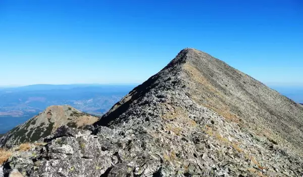
Polezhan Peak is the 4th highest peak in Pirin, coming in after Vihren Peak, Kutelo Peak and Banski Suhodol Peak but unlike them its composition is granite.
Polezhan, previously known as Mangur Tepe, is 9351 ft (2851 m) high and the tallest peak in the Polezhan side ridge.
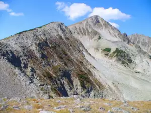
Polezhan towers over its cousins Maluk Polezhan Peak (9250 ft (2820 m)), Gazey, Bezbog, Kaimakchal and Disilitsa, and even over the impressive Strazhite ridge.
Until 1942, the peak was known by the name "Mangur Tepe". This name originates from the Turkish word mangur - i.e. coin. The resemblance to coins comes from the stone slabs that cover the peak. Like coins, they shake and rattle when tourists walk over them.
The closest hut to this peak is Bezbog Hut, about 2 hours away. From Polezhan Peak at the Polezhan plateau there are 2 smaller ridges that split off from it - Bezbog ridge with its Bezbog peak, which continues to Mesta River, and Gazey ridge with its Gazey Peak, which drops down toward the valley of Demyanitsa River. There, the Gazey plateau forms a sheer side valley with a trail along it.
The 2 highest-elevated lakes in Pirin - Upper Polezhan Lake (8888 ft (2710 m)), which is also the lake at highest altitude in all of Bulgaria, and Gorno Gazeysko Ezero (8666 ft (2642 m)), are both located around Polezhan Peak but not within the Polezhan cirque which sprawls north of them.
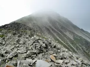
During summertime, the approach toward Polezhan Peak begins from Bezbog Hut and follows the standard tourist route: Polezhan - Gazey cirque - Demyanitsa Hut.
In winter conditions, it's important to know that even at moderate risk of avalanche, the part of the trail that goes up the saddle between Bezbog and Polezhan can be extremely dangerous.
Under these sorts of conditions, it's better to reach Polezhan Peak by first climbing along the left ridge of Bezbog and then traversing the saddle.
Descent begins from the peak itself and continues along a chute. Once past the rocks, which limit the chute on the right side, look for a way up. From there, descent continues along the natural relief of Desilishki mountain, and the exit is at the lowest point of the Bezbog ridge. The exit is just about 2132 ft (650 m) from Bezbog Hut.
News
- New
- Last commented
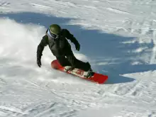
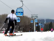
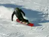 Bansko gathers the best snowboarders in the world
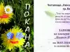 Bansko Puts up its Easter Decorations
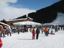
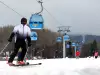 Bansko Opens the New Winter Season on December 16
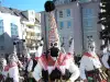 The Starchevata Festival to be Held for 7th Year in a Row
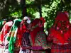 Folklore Festival to Gather Fans at Eleshnitsa
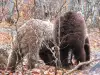 Tourist Boom in the Bear Park Near Belitsa
 Summer Theater Begins in Bansko