Banski Suhodol Peak

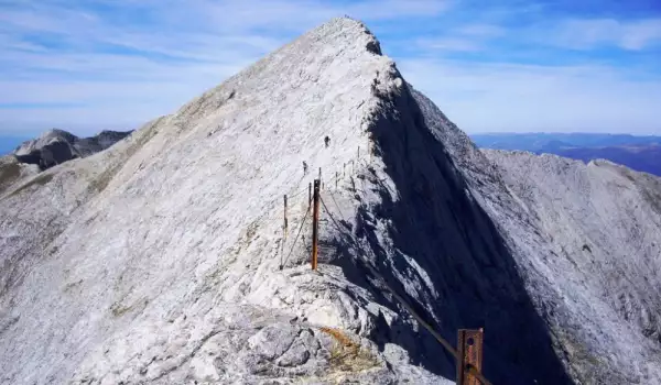
Banski Suhodol Peak is one of the peaks in Pirin mountain. Banski Suhodol is situated in the northern part of the mountain, on the main Pirin ridge in its marble section.

Banski Suhodol has a height of 9460 ft (2884 m) and is the 3rd highest peak in Pirin, if Kutelo Peak is considered a single peak with an elevation of 9538 ft (2908 m), i.e. if we don't count Maluk Kutelo and Kutelo II as their own separate peaks, which have a height of 9535 ft (2907 m).
Kutelo Peak and Banski Suhodol Peak share the same ridge and are connected by the saddle Koncheto, which is an incredibly difficult karst ridge to traverse, its width at some points no more than 27 1/2″ (70 cm).
Northwest of Banski Suhodol Peak there lies an unnamed peak, from which the karst ridge named Koteshkia sprawls in a north-northeastern direction. From Koteshkia, the ridge continues west-northwest, eventually reaching Bayuvi Dupki Peak.

The northeastern slope of Banski Suhodol deserves mention, as it is a sheer vertical 984 ft (300 m) marble wall. The slope drops down to Banski Suhodol cirque, where snowflakes survive year-round. Interestingly enough, there have been several karst caves found in Banski Suhodol cirque.
Even though it doesn't drop off vertically like the northeastern slope, the southwestern slope of Banski Suhodol also has a serious incline of about 70 degrees. The slope drops down to the valley of Vlahinska River, with the altitude between the peak and Vlahinska River being about 3280 ft (1000 m), with a remarkable view.

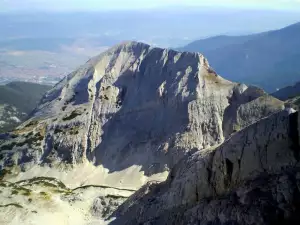
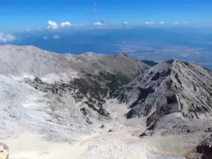
An unbelievable panoramic view opens up from Banski Suhodol Peak southwest toward the other 2 marble Pirin peaks Vihren and Kutelo, toward the granite giants Hvoinati Peak and Muratov Peak, as well as toward Sinanishko Ridge and its crests and cirques.
When the weather is clear, one can clearly see Vlahinska cirque, the Vlahinska lakes, Gredaro ridge, Gergiiski cirque and even the marble "tooth" of Sinanitsa Peak.
More news
- New
- Last commented