Kamenititsa Peak
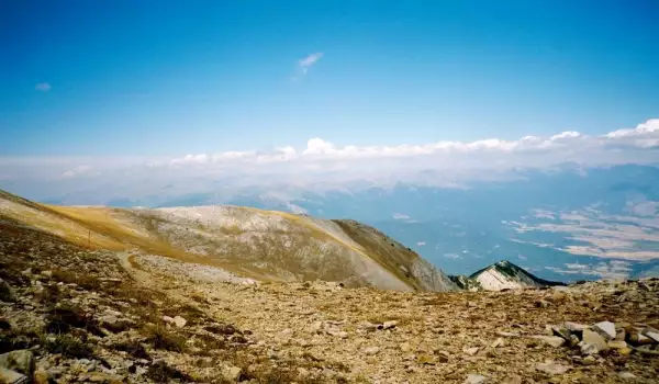
Kamenititsa Peak is located along the main mountain ridge between Kamenitishki Prevaland and Suhodol Preval. Its exact elevation is unclear, due to its proximity to Razlog Suhodol peak.
On some of the older tourist maps, Kamenititsa Peak is marked as the eastern elevation of Razlog Suhodol peak at 8659 ft (2640 m). But according to some hikers, this is simply Razlog Suhodol peak, while Kamenititsa is the higher elevation at 8905 ft (2715 m).
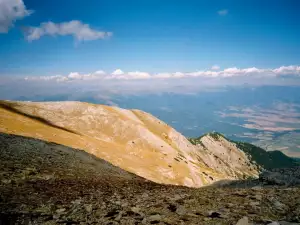
Kamenititsa Peak consists of limestone, distinguished by its characteristic northwestern side. It is this peak that attracts mountain climbers. Besides the color tone, the hill that contains Stupalata also descends from it.
Stupalata are a group of 7 marble arêtes, arranged next to each other along the valley above Yavorov hut, beneath Kamenititsa Peak. Counting starts from the bottom up, i.e. the lowest arête is considered the first arête.
The arêtes vary in height between 164 ft (50 m) and 394 ft (120 m). They are composed of limestone. For the most part, the rock is grainy and provides good traction for climbers.
Despite this, climbers need to be especially careful because the rock is crumbly in some areas and has unstable sections.
The development of Kamenititsa Peak is owed, above all, to the enthusiasm of mountain climbers from the tourist association Pirin-Razlog.
Later, climbers from clubs in Bansko, Pernik and Sofia conquered Kamenititsa Peak themselves.
News
- New
- Last commented
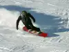 Bansko gathers the best snowboarders in the world
 Bansko Puts up its Easter Decorations
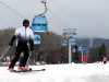 Bansko Opens the New Winter Season on December 16
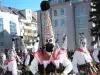 The Starchevata Festival to be Held for 7th Year in a Row
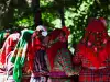 Folklore Festival to Gather Fans at Eleshnitsa
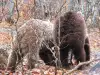 Tourist Boom in the Bear Park Near Belitsa
 Summer Theater Begins in Bansko


